Why Choose Us
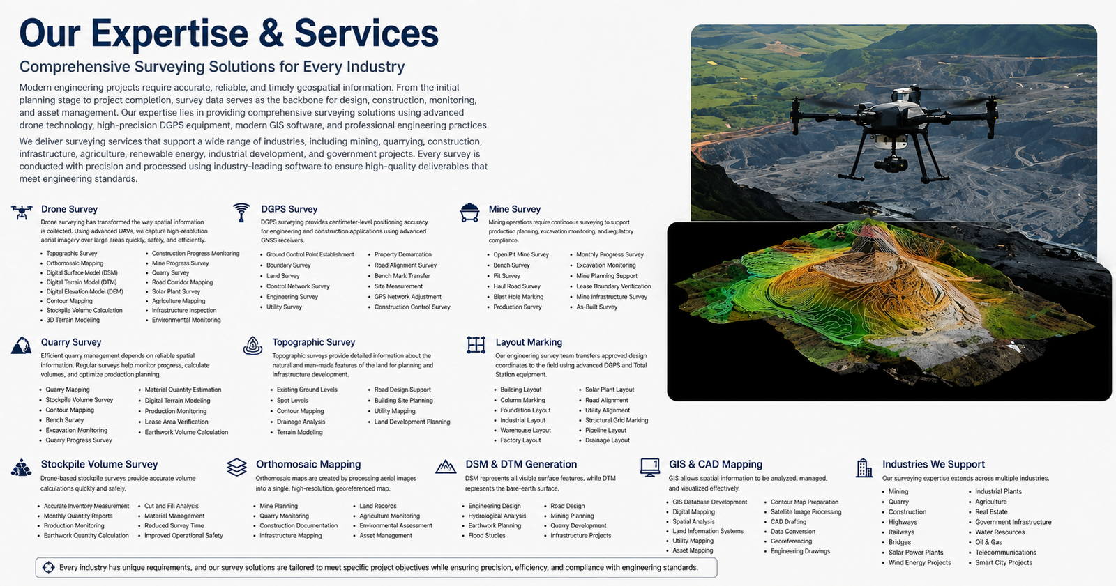
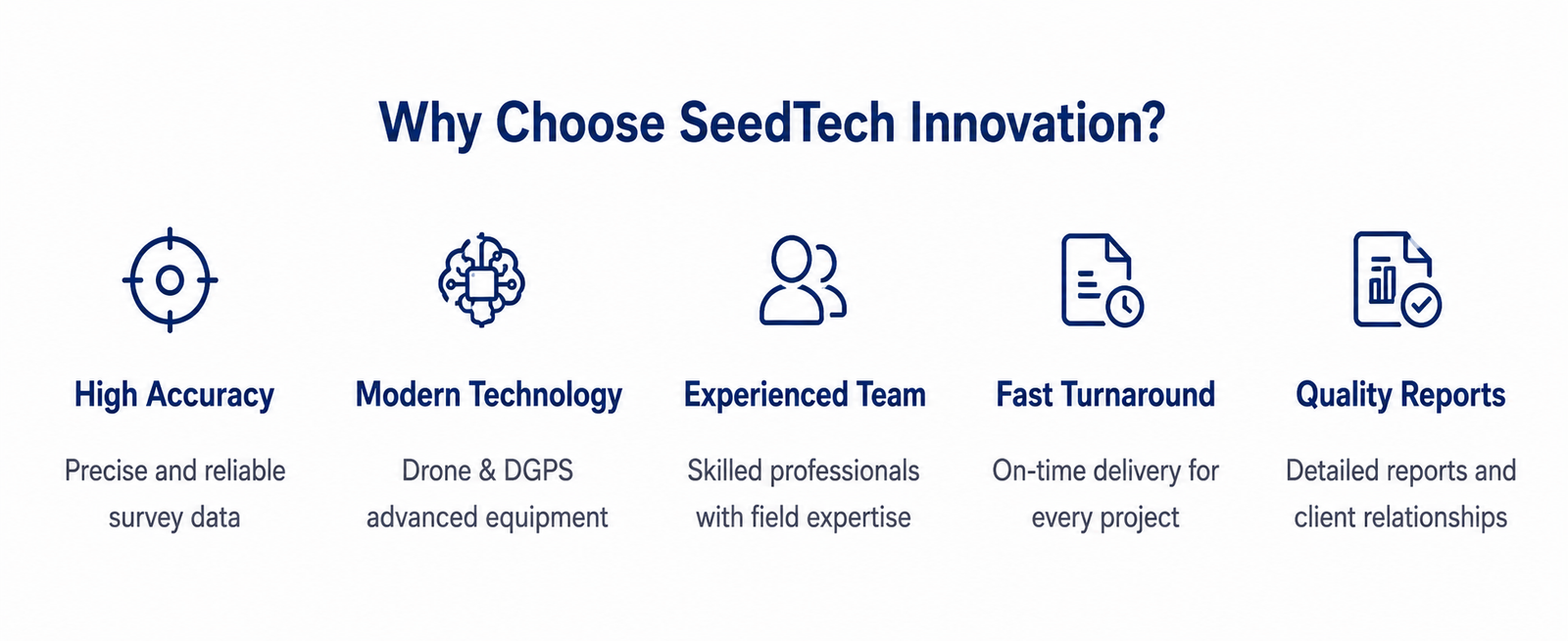
Choosing the right surveying partner is one of the most important decisions for any engineering, mining, infrastructure, or construction project. Accurate survey information directly influences project planning, design accuracy, construction quality, operational efficiency, and long-term asset management. Our commitment is to provide dependable surveying solutions through advanced technology, skilled professionals, and a customer-focused approach that consistently delivers value.
Our work is built on four core principles:
- Accuracy – Delivering reliable measurements and precise geospatial data.
- Innovation – Using the latest drone, DGPS, and GIS technologies.
- Integrity – Maintaining transparency, professionalism, and ethical practices.
- Commitment – Completing every project with dedication, responsibility, and attention to detail.
These principles guide every stage of our work, from project planning and field data collection to data processing and final delivery.
Our Survey Workflow
To ensure consistent quality and efficient project execution, every survey follows a structured workflow.
1. Project Consultation
Every successful project begins with understanding the client’s objectives. We discuss the project scope, survey requirements, expected deliverables, timelines, and technical specifications before beginning any field work.
2. Site Assessment
Our survey professionals conduct a detailed site assessment to evaluate terrain conditions, accessibility, environmental factors, and operational requirements. This helps determine the most appropriate surveying methods and equipment.
3. Field Data Collection
Depending on project requirements, data is collected using advanced Drone Survey systems, DGPS/GNSS receivers, Total Stations, and other precision surveying instruments.
Our field operations focus on:
- Maximum accuracy
- Efficient coverage
- Safe operations
- Proper quality control
- Compliance with engineering standards
4. Data Processing
Collected survey data is processed using professional software applications including photogrammetry, GIS, CAD, and geospatial analysis tools.
The processed outputs may include:
- Orthomosaic Maps
- Contour Maps
- DSM
- DTM
- DEM
- Stockpile Volume Reports
- CAD Drawings
- GIS Maps
- 3D Terrain Models
- Engineering Survey Reports
5. Quality Verification
Before delivering the final outputs, every dataset undergoes multiple quality checks to verify positional accuracy, completeness, and consistency.
This ensures the final deliverables meet project specifications and industry standards.
6. Project Delivery
After successful verification, all survey deliverables are provided in the required digital formats such as:
- AutoCAD (DWG)
- PDF Reports
- GeoTIFF
- LAS/LAZ
- Shapefile
- KML/KMZ
- CSV
- Orthophotos
- 3D Models
Project data is securely delivered through cloud storage or other preferred methods for easy access and collaboration.
Technology We Use
Modern surveying depends on advanced technology to achieve high levels of accuracy and efficiency.
Our services are supported by:
- RTK Drone Systems
- DGPS / GNSS Receivers
- Total Station
- Auto Level
- UAV Photogrammetry Software
- GIS Applications
- CAD Software
- Point Cloud Processing Software
- Digital Terrain Modeling Tools
- Survey Data Processing Applications
Continuous investment in modern equipment allows us to deliver survey results that meet current engineering standards.
Quality Assurance
Quality is integrated into every stage of our operations.
Our quality assurance process includes:
- Equipment calibration and verification
- Survey planning
- Ground control validation
- Multiple field checks
- Data verification
- Independent accuracy review
- Final documentation review
By maintaining strict quality control procedures, we ensure that every project is completed with precision and consistency.
Safety Commitment
Surveying often involves working in challenging environments such as:
- Active Mines
- Quarry Sites
- Construction Projects
- Industrial Facilities
- Remote Areas
- High-Traffic Roads
Safety is always a priority.
We follow established operational procedures, conduct proper risk assessments, and use drone technology wherever possible to reduce exposure to hazardous locations while improving operational efficiency.
Our Mission
Our mission is to deliver innovative, accurate, and reliable surveying solutions through advanced technology, technical expertise, and exceptional customer service.
We strive to help clients achieve successful project outcomes by providing dependable geospatial information that supports better planning, informed decision-making, and efficient execution.
Every survey is carried out with professionalism, integrity, and a commitment to excellence.
Our Vision
Our vision is to become a trusted leader in surveying and geospatial services by continuously adopting advanced technologies, enhancing technical capabilities, and delivering high-quality survey solutions that contribute to sustainable infrastructure and industrial development.
We aim to build long-term relationships with clients by consistently exceeding expectations through precision, innovation, and reliability.
Our Core Values
Our organization is guided by values that define how we work and interact with clients.
Professionalism
Maintaining the highest standards in every project.
Precision
Providing accurate and dependable survey data.
Innovation
Continuously adopting modern surveying technologies.
Customer Focus
Understanding client requirements and delivering practical solutions.
Integrity
Operating with honesty, transparency, and ethical business practices.
Continuous Improvement
Investing in technology, training, and professional development.
Our Future
The surveying industry continues to evolve rapidly with advancements in UAV technology, artificial intelligence, cloud computing, GIS platforms, LiDAR, and digital engineering workflows.
We are committed to staying at the forefront of these developments by continuously expanding our capabilities and adopting innovative technologies that improve survey accuracy, efficiency, and project delivery.
As infrastructure, mining, renewable energy, and industrial development continue to grow, reliable geospatial information will become even more important. Our goal is to support these industries with precise survey data that contributes to safer operations, smarter planning, and sustainable development.
Building Success Through Precision
Every successful project begins with accurate measurements and dependable information. Whether supporting mining operations, quarry management, construction projects, infrastructure development, industrial facilities, or land development, we are committed to providing professional surveying solutions that clients can trust.
By combining experienced professionals, advanced technology, and a dedication to quality, we deliver reliable geospatial data that supports informed decisions and successful project execution.
We believe that precision is more than just a measurement—it is the foundation of progress. Through innovation, accuracy, and commitment, we continue to help transform ideas into reality and support projects that shape the future..
Get Started
Ready to elevate your project with precise drone surveys? Let’s talk.